In efforts towards bolstering resilience against the impacts of climate change, the UAE Space Agency has forged a collaboration with Planet Labs, a pioneer in Earth data and insights. This partnership aims to construct an innovative loss and damage atlas, driven by satellite data, that will empower nations to confront the challenges posed by a changing climate.
This agreement aligns seamlessly with the UAESA’s vision and strategic objectives, as it actively supports transformative initiatives and projects aimed at combating climate change. Furthermore, it resonates with the UAE’s commitment as it prepares to host the 28th Conference of the Parties to the UN Framework Convention on Climate Change (COP28). The event, scheduled from November 30 to December 12, 2023, will gather global leaders in Expo City Dubai to deliberate on crucial climate issues.
The establishment of a Loss and Damage Fund was the highlight of the COP27 and the culmination of decades of pressure from climate-vulnerable developing countries. The fund aims to provide financial assistance to nations most vulnerable and impacted by the effects of climate change.
The Loss and Damage Atlas project was conceived to extend technology and expertise to developing countries to tackle the loss and damage resulting from climate change. Additionally, the atlas’s objectives align with the World Meteorological Organization’s Early Warning Systems for All initiative, aiming to enhance the availability and accessibility of early warning systems for hazards such as extreme weather, water, and climate-related events in climate-vulnerable countries.

“Our strategic collaboration and partnership with Planet Labs represents a robust step towards building a sustainable and climate-resilient future. Moreover, it reflects our commitment to strengthening our analytical capabilities to combat climate change and make better-informed decisions,” said H.E. Sarah Al Amiri, UAE Minister of State for Public Education and Advanced Technology and Chairwoman of the UAE Space Agency. “We understand the importance of tackling global climate challenges. Thus, we will use cutting-edge technology, space data, and satellites to map the loss and damage from climate change and help establish early-warning systems. The project also supports our plans to build capacities and adapt to the accelerating climate changes, as well as helping other countries to develop plans and strategies to limit future climate changes.”

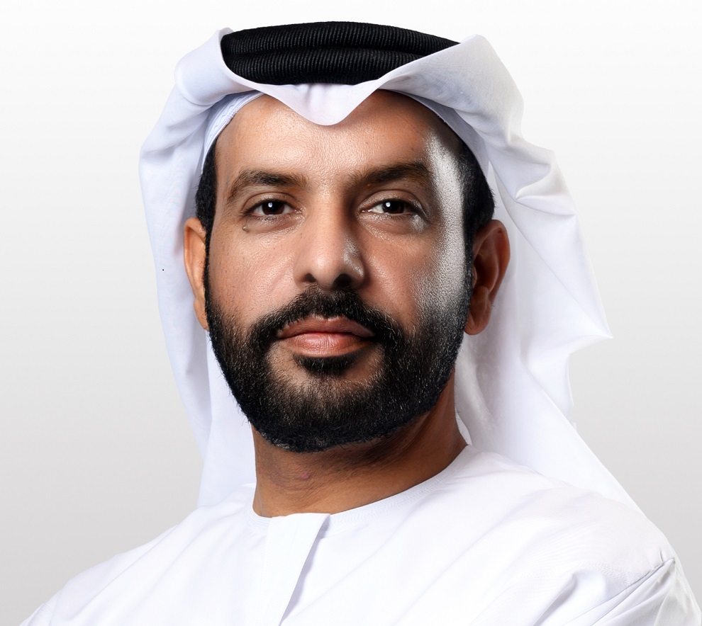
H.E. Salem Butti Salem Al Qubaisi, the Director General of the UAE Space Agency, emphasized the agency’s commitment to fostering and empowering national private sector companies in their efforts to bolster sustainability and combat climate change. He said, “This agreement marks a significant milestone in the pursuit of Sustainable Development Goals (SDGs) by establishing an unprecedented Loss and Damage Atlas. The implementation of this pioneering atlas holds immense potential to mitigate the adverse effects of climate change. By aligning with national visions and strategies that aim to cultivate a sustainable economy while preserving the environment and biodiversity, the atlas will make a profound and positive impact on climate change mitigation efforts.”
In addition to its primary objectives, the Loss and Damage Atlas will play a pivotal role in quantifying the damages inflicted by extreme weather events, such as floods and droughts. By doing so, it will facilitate the establishment of early-warning systems, enabling proactive responses to mitigate potential impacts. Moreover, the atlas will provide valuable insights on various climate-related topics, including population distribution, wildfire and flood risks, agricultural productivity, food security, and the assessment of physical assets. This comprehensive information will contribute to a more comprehensive understanding of the complex dynamics of climate change, facilitating the development of effective strategies and measures to address its consequences. The Loss and Damage Atlas will be developed by UAE based start-up companies, institutes and universities, and the first demonstration will take place during COP28.
Will Marshall, Planet Labs Co-founder and CEO, said: “We are proud of our partnership with the UAE to get this data into the hands of important global participants. Climate change is one of the biggest challenges we as a planet have ever faced, and it’s critical that vulnerable countries are able to have real, tangible insights to build resilience. We have the technology to capture those insights and to help build early warning systems for climate risks, but we can’t do it alone.”
Under the agreement, Planet Labs is set to provide key data assets and capabilities for this atlas, including access to PlanetScope satellite data for each participating country, to leverage a near-daily country-level imagery scan at 3 metre resolution, and see gradual change happening, such as coastal erosion; and SkySat Tasking capabilities that enable identifying specific areas of interest and capturing fine details, at 50 centimetre resolution, of swiftly changing events, such as the immediate impacts of flooding damage.
Another area of focus for the UAE Space Agency (UAESA) in its battle against climate change is the development and implementation of various projects and initiatives. The Space Data Centre, an innovative digital platform, serves as a central hub for scientists, scholars, public and private entities, start-ups, and community members to access space data. This platform facilitates the collaborative development of solutions to address both national and global challenges.
Moreover, the UAESA has launched the Space Analytics and Solutions (SAS) Program, which encompasses a range of initiatives aimed at tackling climate change. These initiatives include enhancing food security, monitoring greenhouse gases, and conducting environmental and vegetation monitoring. Additionally, the program focuses on infrastructure improvements to ensure sustainable development in the face of climate-related risks.
To facilitate these endeavors, the UAESA has introduced the Geo-Spatial Analytics Platform. This state-of-the-art platform is specifically designed for earth observation and remote sensing applications. By granting access to satellite data, the platform empowers scientists, scholars, public and private entities, start-ups, and community members to develop satellite-based solutions that address both national and global challenges. Furthermore, the platform offers value-added services and satellite data applications to optimize its potential for creating impactful solutions.


